
News
Class 1 Driver Heavy Equipment Operator Needed

The Municipal District of Spirit River No. 133 is seeking a qualified and safety-conscious Class 1 Driver / Heavy Equipment Operator to join our Public Works team in a full-time, permanent position.
This role plays an important part in maintaining municipal roads, infrastructure, and public property. Responsibilities include operating highway tractors and trailers, excavators, wheel loaders, and other municipal equipment; performing road maintenance, snow removal, sanding, and ice control; assisting with general maintenance and emergency response; and providing relief driving for municipal transit services as needed.
Qualifications include:
- Valid Alberta Class 1 Driver’s Licence with Air Brake (Q) endorsement.
- Grade 12 diploma.
- Minimum of two years of tractor-trailer experience.
- Demonstrated experience operating heavy equipment and winter road maintenance equipment.
- Current Standard First Aid certification with CPR Level C (or AED equivalent).
- A clean or acceptable Commercial Driver’s Abstract, with a minimum three-year record required at hire.
The successful candidate will be comfortable working independently and as part of a team, performing physical work outdoors in varying weather conditions, and being available for occasional after-hours and weekend work.
What We Offer
- Full-time, permanent employment.
- Competitive wages of $38.67–$41.83 per hour.
- A positive, inclusive, and collaborative workplace.
- Opportunities for professional development and an excellent compensation package.
The MD of Spirit River is an equal opportunity employer committed to maintaining a respectful, safe, and inclusive workplace.
How to Apply
Please submit your resume or direct inquiries to hr@mdspiritriver.ab.ca.
This opportunity will remain open until we find a suitable candidate.
To view the full job posting, click on Class 1 Driver / Heavy Equipment Operator
Notice of Development Permit Approval 13-DP-26
October 14, 2026 – Regular Council Meeting

Please join Council during their Regular Council meeting on October 14th @ 9:00 AM, either in person at the MD Administration Office or virtually on Teams.
Meeting ID: 220 505 280 799 48
Passcode: wi3tD3hB
For access to the agenda, click on October 14, 2026 Agenda
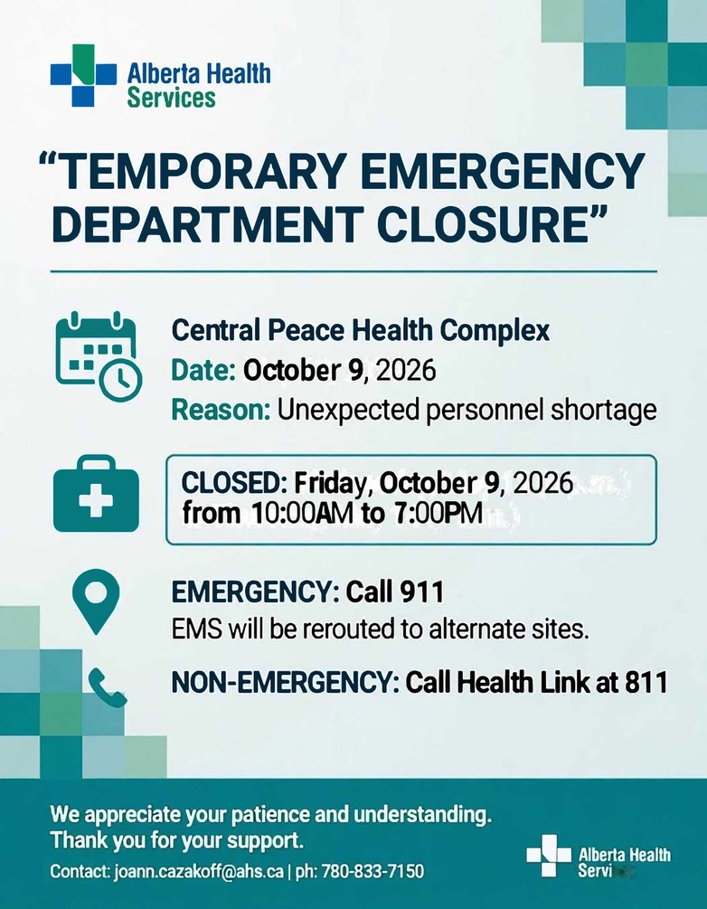
ED Temporary Closure – October 9, 2026
Community Policing Priorities Survey Results
Community Safety Survey Highlights Residents’ Priorities
Earlier this year, the MD of Spirit River invited residents to share their thoughts on community safety and policing priorities. The survey received responses from residents living on farms, rural properties and acreages.
While many respondents said they generally feel safe in their communities, the responses also highlighted several concerns that residents would like to see addressed through increased police visibility, communication and community-based initiatives.
Theft and Rural Crime Top the List
The most consistent concern among respondents was theft, including stolen vehicles, fuel, tools and equipment. Break-ins, trespassing and suspicious activity were also frequently identified.
Several rural residents described concerns about people entering properties, equipment or items going missing, and unfamiliar vehicles travelling or stopping on rural roads. Some respondents said they have experienced or witnessed theft or suspicious activity within the past year.
For residents living in rural areas, farmyard theft, equipment theft, fuel theft and trespassing were among the most frequently identified rural-specific concerns.
Residents Want More Police Visibility
A strong theme throughout the survey was a desire for increased RCMP presence in rural areas. Many respondents specifically mentioned patrols on rural gravel roads, back roads, highways and routes between communities.
Some residents suggested that even periodic patrols could provide reassurance and potentially deter criminal activity. Others identified particular areas where increased visibility could be helpful, including around Rycroft, Woking, rural roadways and high-traffic areas.
Traffic enforcement was another recurring priority, with respondents raising concerns about speeding on highways and through communities, as well as traffic safety around school buses.
Response Times Matter
Response times were another significant theme. Several respondents said that longer RCMP response times affect their sense of safety, with some describing the impact as significant.
Residents also expressed a desire for better communication between the RCMP and the community, particularly when suspicious activity or other safety concerns occur.
At the same time, several respondents expressed appreciation for local RCMP members and acknowledged the challenges officers face. One respondent noted that police are “doing the best they can with what guidelines they have to work with,” while another simply offered appreciation for the work police are doing.
Interest in Community-Based Solutions
Respondents expressed support for a variety of initiatives, including community patrols, public education, increased traffic enforcement, youth programs and collaboration with local organizations.
There was also interest in community safety or RCMP information sessions, with several respondents saying they would attend and others indicating they might.
Some residents suggested additional tools and technology could help address rural crime, including security cameras and other measures that could assist with identifying vehicles or individuals involved in incidents.
Keeping Residents Informed
When asked how they would prefer to receive information about local safety and RCMP initiatives, residents most commonly identified Facebook, the MD website and the Spirit of the Central Peace newsletter, with some also selecting public meetings and email.
However, several respondents said they do not feel well informed about crime and safety issues in the area. This suggests there may be an opportunity to strengthen regular communication about community safety, available resources and policing initiatives.
A Community Conversation
Overall, the survey provides the MD and local policing partners with useful insight into what residents are seeing and experiencing in rural areas.
The responses point to several recurring priorities: more visible police presence, addressing rural theft and property crime, traffic enforcement, timely response, improved communication and collaboration between police, municipalities and residents.
The survey also demonstrated that residents recognize the importance of working together. Alongside concerns and suggestions, several respondents expressed appreciation for local police and a desire to find constructive solutions that can help make the Central Peace a safer place to live, work and raise a family.
The MD of Spirit River thanks everyone who took the time to participate and share their perspective. Resident feedback will help inform ongoing conversations around community safety and policing priorities in the region.
View the survey results: MD of Spirit River – Community Safety & Policing Priorities Survey (Responses)
Thanksgiving Office Closure – Monday, October 12
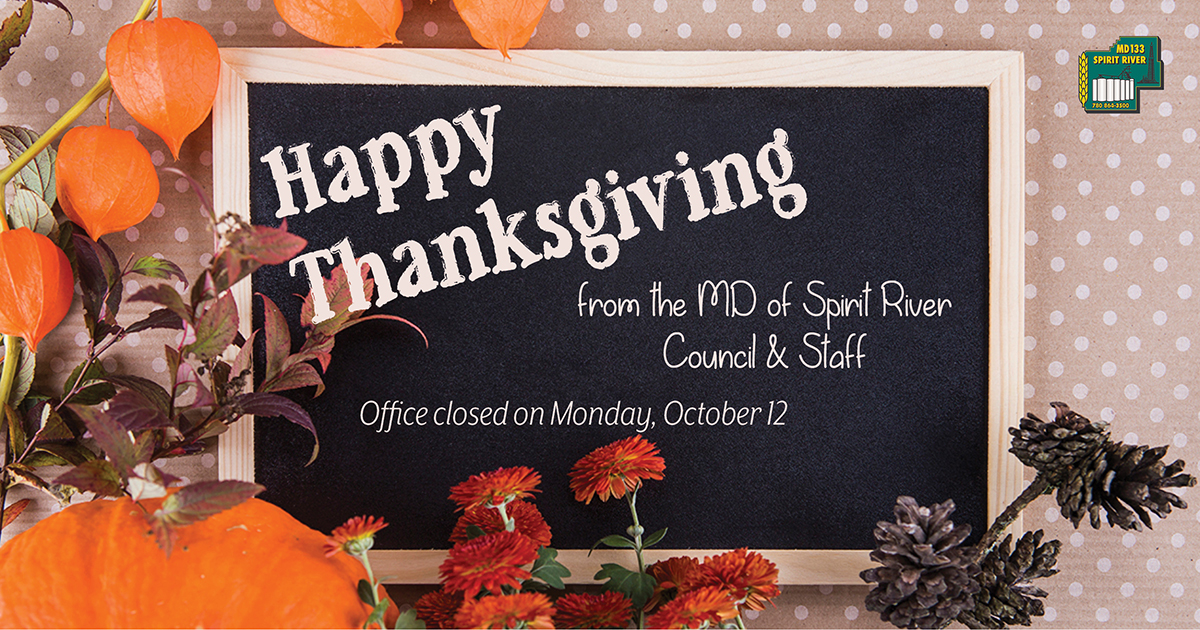
The MD of Spirit River No. 133 Administration Office will be closed on Monday, October 12, in observance of Thanksgiving.
Regular office hours will resume on Tuesday, October 13.
A Little History of Canadian Thanksgiving
Every October, Canadians gather around tables with family and friends to enjoy a Thanksgiving meal and take a moment to appreciate the people, places and blessings in their lives. But have you ever wondered how Thanksgiving became a Canadian tradition?
Thanksgiving in Canada has roots that reach back centuries. Indigenous peoples have long held traditions of giving thanks for the land, harvests and abundance of the natural world. European settlers also brought their own harvest and thanksgiving traditions to what is now Canada. Over time, these traditions evolved and became part of the Canadian Thanksgiving we know today.
One of the earliest recorded European Thanksgiving celebrations in what is now Canada took place in 1578, when English explorer Martin Frobisher held a ceremony in Newfoundland to give thanks for his safe arrival. Later, harvest celebrations became increasingly common among European settlers and agricultural communities.
Canada’s Thanksgiving holiday has changed dates several times throughout its history. Unlike American Thanksgiving, which is celebrated in November, Canadian Thanksgiving gradually became associated with the autumn harvest and was eventually moved to October.
In 1879, Parliament recognized Thanksgiving as a national holiday, although the date was not permanently fixed. For many years, Thanksgiving was proclaimed on different dates and sometimes shared a connection with other national observances.
The holiday took another turn in 1931, when Remembrance Day was established as a fixed date on November 11. Thanksgiving was moved back to October, and in 1957, the second Monday in October became the official date for Canada’s Thanksgiving Day. Today, Thanksgiving is observed on the second Monday of October.
While the holiday may have begun primarily as a celebration of harvest and abundance, its meaning has broadened over the years. For many Canadians, Thanksgiving is now simply an opportunity to pause from the busyness of everyday life, gather with loved ones and reflect on what we are grateful for.
And perhaps that is especially fitting here in the MD of Spirit River and the entire Central Peace. Autumn is a time when the work of the growing season is coming to an end, fields are being harvested, gardens are winding down, and communities prepare for the winter ahead.
Thanksgiving gives us a chance to appreciate not only the food on our tables, but also the people who grow it, the neighbours who lend a hand, the volunteers who strengthen our communities and the families and friends who make this region home.
From our community to yours, we wish you a very happy Thanksgiving — and plenty of reasons to be thankful.
First Nations, Métis and Inuit Bursary Closing Soon

First Nations, Métis and Inuit Bursary – Intake 2 Deadline Closing Soon
The First Nations, Métis and Inuit Bursary, part of Alberta’s Northern Alberta Development Bursary Program, is still accepting applications for Intake 2. The deadline is November 1, 2026 — apply soon to avoid missing out.
This return-of-service bursary provides non-repayable funding to Indigenous students enrolled full-time in post-secondary programs. In exchange, recipients commit to living and working in northern Alberta for one year of full-time employment in their field of study for each year of bursary support received.
Funding available:
- Up to $7,000 for students in pre-apprenticeship, certificate, or diploma programs
- Up to $11,500 per year (maximum of four years) for bachelor’s, master’s, or PhD programs
Students must apply for each year of funding they wish to receive. Funding is limited and awarded based on established criteria.
Key eligibility requirements include:
- Canadian citizen, permanent resident, or protected person
- Alberta resident for at least 12 consecutive months before the program start
- Enrolled (or applying) in a designated full-time post-secondary program
- 18 years of age or older
- Proof of Indigenous ancestry
- Willingness to sign a return-of-service agreement
You may apply to only one intake per academic year. Applicants for Intake 2 will be notified of their status by mid-January.
Ready to apply?
Create or verify your Alberta.ca Account, gather your supporting documents (proof of Indigenous ancestry and transcripts), and submit your application online.
Full details and the application portal are available here:
https://www.alberta.ca/first-nations-metis-and-inuit-bursary
Don’t wait — the November 1 deadline is approaching.
Spirit of the Central Peace October 15, 2026 Issue
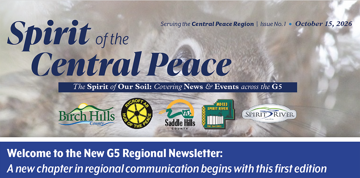
The G5 has officially launched their new regional newsletter. The October 15, 2026 issue of the Spirit of the Central Peace newsletter is now available online for your reading pleasure.
Click the following link for access: Spirit of the Central Peace – Issue 1 – October 15, 2026
Pregnancy & Infant Awareness Proclamation
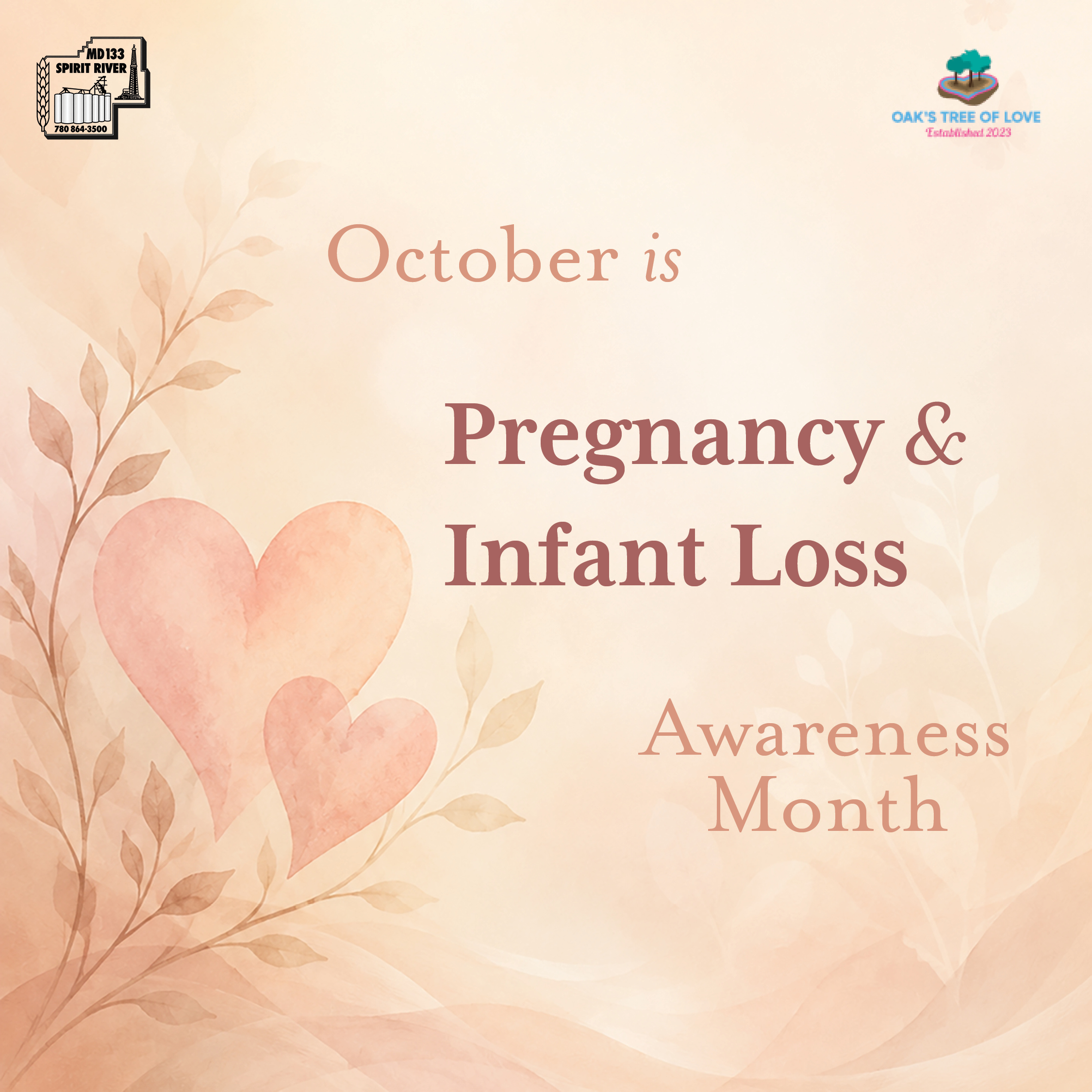
MD of Spirit River Proclaims Pregnancy & Infant Loss Awareness Month and Day
The Municipal District of Spirit River No. 133 is recognizing the profound impact of pregnancy, infant and child loss by proclaiming October 2026 as Pregnancy and Infant Loss Awareness Month and October 15, 2026, as Pregnancy and Infant Loss Awareness Day within the MD.
The request was brought to Council by Kristin Pichoskie, founder of Oak’s Tree of Love, a Northern Ontario initiative created in memory of her son, Oak Beaudyn Noel. Oak’s Tree of Love supports bereaved families through memory boxes, remembrance projects, advocacy, awareness and community support.
Pregnancy and infant loss affects families in deeply personal ways. The loss of a baby or child can leave a lasting impact on parents, siblings, grandparents and the wider community. Yet many families experience their grief quietly and may not always receive the understanding or support they need.
The proclamation provides an opportunity to change that.
By recognizing Pregnancy and Infant Loss Awareness Day, the MD is helping raise awareness, reduce stigma and remind bereaved families that they are not alone. It also honours the memory of Oak Beaudyn Noel and all babies and children gone too soon, while recognizing the strength and resilience of the families who continue to carry their memories.
October 15 is a day to remember.
It is a day to acknowledge lives that were deeply loved, even when they were far too short. It is a day to offer compassion to grieving families and to recognize that their loss deserves to be seen, heard and remembered.
The MD encourages residents to take a moment on October 15 to remember the babies and children gone too soon and to show support for families who have experienced this kind of loss.
Sometimes, simply saying “I remember” can mean more than we know.
Through this proclamation, the Municipal District of Spirit River joins communities across Canada in helping create greater awareness, compassion and understanding for families affected by pregnancy and infant loss.
Seniors, We’ve Got Your Tickets!

🍂 A Special Night Out for Our Seniors! 💃🕺
The Friends of the Grande Spirit Foundation are hosting their Annual Harvest Dine & Dance on October 3rd, and the MD of Spirit River is making it a little easier for local seniors to enjoy the evening!
The MD is sponsoring four tickets for seniors at Pleasant View Lodge to attend this special event. Tickets will be available on a first-come, first-served basis by calling the MD Office at 780-864-3500.
And there’s more! The MD Transit Bus will provide complimentary transportation for the four ticket recipients, ensuring they have safe and convenient transportation to and from the event.
Departure: 4:00 p.m.
Pick-up available at: Pleasant View Lodge or the MD Office
Four tickets available
The first four seniors to call the MD Office and request a ticket will receive one!
Come enjoy a wonderful evening of food, music, dancing and good company — and let us take care of the ride. 🍁❤